


Izohipsa
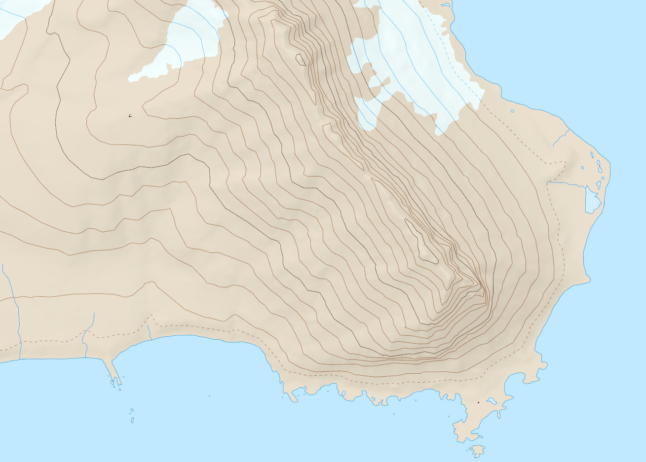
Izohipsa to linia na mapie łącząca miejsca o jednakowej wysokości. W meteorologii to linia łącząca punkty powierzchni izobarycznej o tej samej wysokości. Natomiast gdy przedstawia rzeźbę terenu zwana jest również poziomicą.
Izohipsa to linia na mapie łącząca miejsca o jednakowej wysokości. W meteorologii to linia łącząca punkty powierzchni izobarycznej o tej samej wysokości. Natomiast gdy przedstawia rzeźbę terenu zwana jest również poziomicą.
 This project (EDU-ARCTIC) has received funding from the European Union’s Horizon 2020 research and innovation programme under grant agreement No 710240. The content of the website is the sole responsibility of the Consortium and it does not represent the opinion of the European Commission, and the Commission is not responsible for any use that might be made of information contained.